Surveyed in 1917, Second re-surveyed in 1976, Amended in 1985, Issued in 1987
"Kawasaki" 1:25,000 Scale
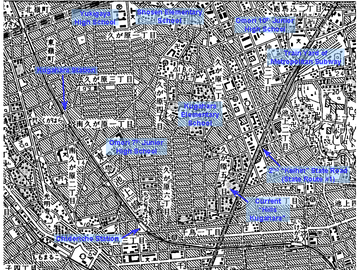
Relatively recent map indicating the use of land 18 years ago. It is advised to recognize the change through the "Bubble Economy" by comparing this map with the currently published ones.
This map has been copied from 1:25,000 scale topographic maps, 1:20,000 scale official maps and 1:10,000 scale topographic maps issued by Geographical Survey Institute (GSI), Ministry of Land, Infrastructure and Transport, Japan under an approval of the Director General of GSI.
(Approval Number Hei14SouFuku #408)[Letter of Approval (PDF file)]