|
First released on 22nd February, 2003 Updated on 29th March, 2003 |
|
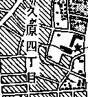
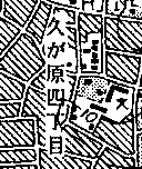
Old Maps By clicking the index maps, the entire map will be displayed. |
||||
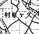 Survey of 1881 |
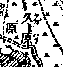 Survey of 1906 |
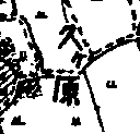 Survey of 1917 |
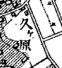 Survey of 1929 |
|
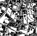 Survey of 1937 |
 Survey of 1945 |
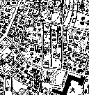 Survey of 1955 |
 Survey of 1966 |
|
 Survey of 1968 |
 Survey of 1985 |
|||
|
These maps have been copied from 1:25,000 scale topographic maps, 1:20,000 scale official maps and 1:10,000 scale topographic maps issued by Geographical Survey Institute (GSI), Ministry of Land, Infrastructure and Transport, Japan under an approval of the Director General of GSI. (Approval Number Hei14SouFuku #408)[Letter of Approval (PDF file)] |
||||
|
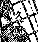
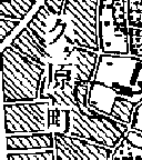
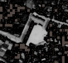
Aerial Photos First released on 29th March, 2003 Full-scale photos are displayed by clicking the thumbnail photos. |
|||
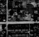 -- Northern Half -- |
 -- Southern Half -- |
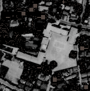 Photo taken |
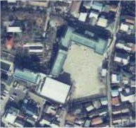 Photo taken |
| Photos taken in 1947 by USAF | in 1963 by GSI | in 1983 by GSI | |
|
These aerial photos have been copied from aerial photos taken by Geographical Survey Institute (GSI), Ministry of Land, Infrastructure and Transport, Japan and US military under an approval of the Director General of GSI. (Approval Number Hei14SouFuku #508)[Letter of Approval (PDF file)] |
|||
Top page of "Unofficial Homepage of Kugahara"
Top page of "The Barn of Kohno Family"