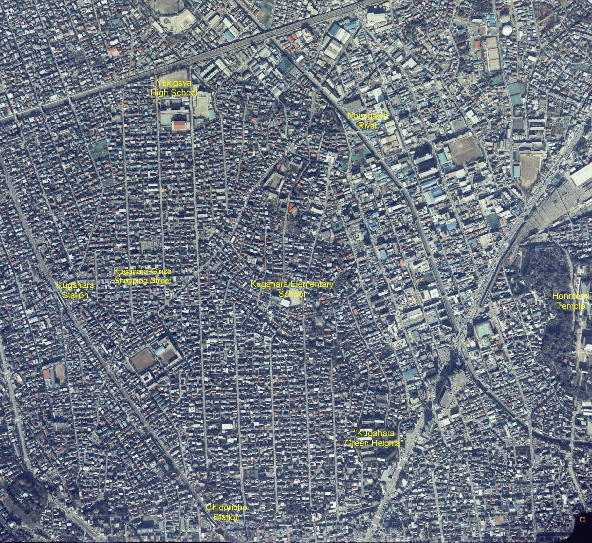
Photo taken in 1983 by GSI
Date : 03 December, 1983
11:25 a.m., Altitude=2,140m
Index : CKT-84B-3 Course : C18B Photo #4
A new gym had been built in Kugahara Elementary School.
You can see the Kan-pachi Street, "Ring Road #8", being interrupted by the graveyard of Komyuji Temple at the bottom-left corner of the photo, although this is out of Kugahara.
This aerial photo has been copied from aerial photos taken by Geographical Survey Institute (GSI), Ministry of Land, Infrastructure and Transport, Japan and US military under an approval of the Director General of GSI.
(Approval Number Hei14SouFuku #508)[Letter of Approval (PDF file)]